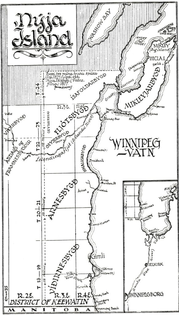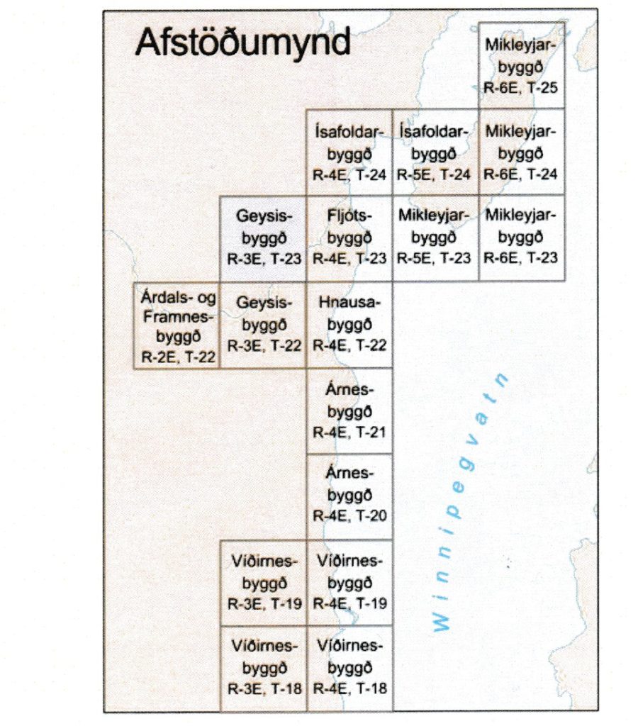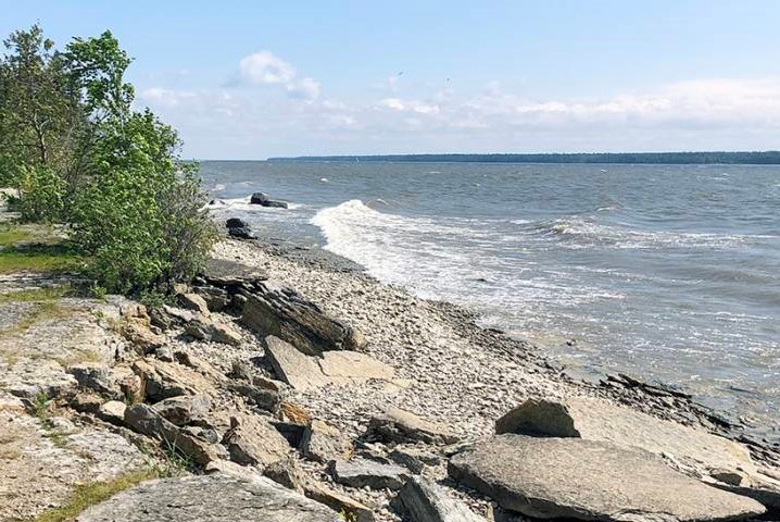
Geology: New Iceland was located on the west coast of the southern part of Lake Winnipeg. Granite bedrock to the east of the lake is more than two billion years old, while to the west is the bedrock of half a billion year old limestone. The bedrock on both sides of the lake was broken by glaciers of the last ice age until about 10 thousand years ago when glaciers began to retreat from the area and Agassiz water filled the Rauðárdalur valley. Clay soil, now valuable for agriculture, accumulated in the deeper depressions of Lake Agassiz, which covered the area south of Lake Winnipeg. In the area between Winnipeg Lake and Manitoba Lake, the eruption of the limestone formed rocky soil. Today, as the Hudson Bay and surrounding areas continue to rise in response to glacial retreat, the Winnipeg Water Area has shrunk so the water continues to expand. Winnipeg water is shallow and freezes easily during the winter, so the wind can form pressure ridges that can be dragged along the bottom of the water. The settlers of New Iceland made their home by the large, cold lake, which they used for fishing from a boat in summer and through ice in winter, in addition to which they managed to use the rocky soil for agriculture west of the lake, which was not as effective for agriculture. and the more clayey soil south of the lake.
(Text: Dr. Harvey Thorleifson, University of Minnesota. Translation: JÞ. Icelandic editor: Dr. Áslaug Geirsdóttir, Háskóli Íslands)
Íslenskt landnám: