
State of Nebraska, USA: Nebraska is located at the center of the USA, surrounded by the US states of South Dakota, Iowa, Missouri, Kansas, Colorado, and Wyoming. The monotonous landscape, most of which was beyond the action of the Ice Age, is underlain by soft sedimentary rocks such as sandstone and shale, as well as a vast area of sand hills in the west. The natural vegetation is grassland, across an area that is hot in summer, and cold in winter, although not as cold as states and provinces to the north. Icelandic settlement occurred here and there in the good farmlands in the eastern half of the state, that have just enough rain and irrigation for farming, in the Counties of Lancaster, Gage, Webster, and Brown Counties. H. Thorleifson
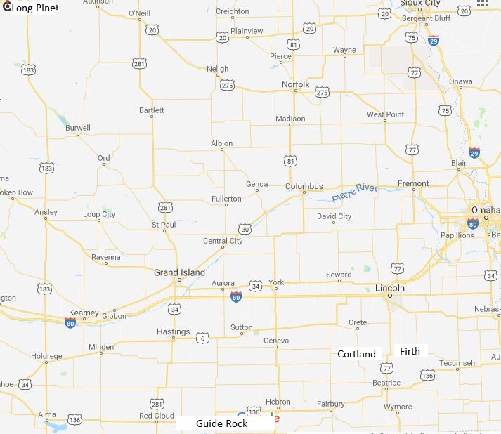
Settlement: The map shows the main places in Nebraska that are most relevant to the history of Icelandic settlement there in the second half of the 19th century. The capital, Lincoln, was the destination of those who first explored the country, most of whom came from Milwaukee. A little south of Lancaster County is the small village of Firth and just west and a little south is Cortland in Gage County. When driving from Lincoln today south to Firth, the land rises somewhat, which can be seen from the fact that Lincoln is at 1176 feet above sea level, but Firth 1325. When you then drive west from Firth to Guide Rock, the land continues to rise to 1667 feet above sea level, but the highest is in Long Pine at 2402 feet. The landscape is somewhat variable, however, but in most places arable land and pastures alternate. The land around the villages of Firth and Cortland is characterized by fertile soil and agriculture is most practiced. The picture below shows this dark, fertile soil that is prevalent in the area between Lincoln and Firth and there the brothers Torfi, Lárus and Aðalbjartur Bjarnason took lands. Torfi’s land was near Lancaster County just south of Lincoln. Lárus was south in the same county, while Aðalbjartur was in the north of Gage County, which is the nearest county south of Lancaster. The photo below is taken on Aðalbjartur’s land.
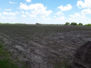
Forest belts are widespread and most will be man-made to shelter farms from the harsh north winds in winter. Most Icelanders who came to Nebraska during the first years of the western emigration visited the area that has now been described, but their farms were small and it soon became clear that it was difficult to expand. Farms, however, were bought and sold but were expensive. Lárus alone remained and even though his farm was not large, it sufficed. His countrymen moved far to the northwest to Long Pine in Brown County. Not much is said about whether Icelanders explored the lands west of Cortland, but Aðalbjartur blazed his own trail because in 1923 he settled on land near the village of Guide Rock in Webster County. The photo taken in the summer of 2019 clearly shows how the landscape has changed from Cortland and Firth. Instead of fertile fields, the land has become undulating and good pastures characterize the area in almost all of the southern state west of Webster County.
This photo shows the rolling landscape in Nebraska, east of Guide Rock. Photo: JÞ
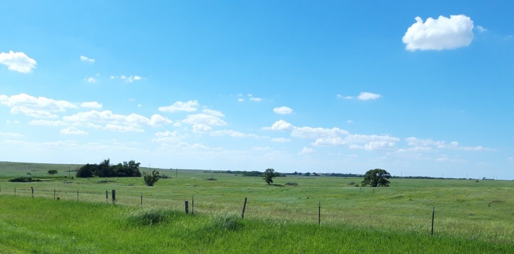
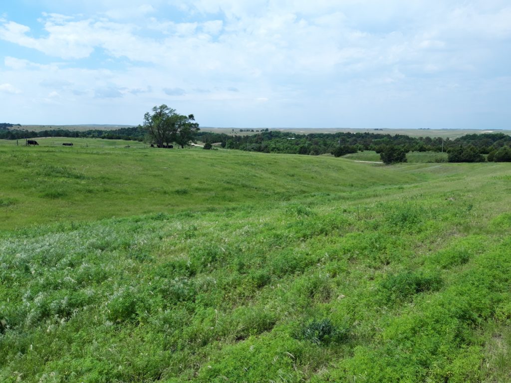
As reported above, the land in northwestern Brown County is higher above sea level than in previously described locations. The landscape also changes, waves of grass provide an ideal pasture. Here on the pastures cattle
This shows the land just east of Long Pine Photo: JÞ
dominate and large herds can be seen grazing in many places. There are fewer forest belts than in some places where the land dips somewhat and forms a shallow valley, which is often a large forest. Elsewhere, grassy sand dunes take over, in many places the soil is quite sandy. The village of Long Pine became a kind of center for Icelandic settlers, where they could get necessities and all kinds of services.
English version by Thor Group
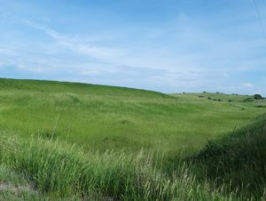
This photo is taken from a hill just south of Long Pine. Here you can see the next part of a herd of cattle grazing. In the distance you can see a forest belt, but at the top of the picture you can see land that is less undulating. Photo: JÞ